aletessa.

Geospatial intelligence, grounded in Indonesia

Clarity on
the ground.

Better places to invest.
Better ways to care for them.

We’re building tools that turn location data into confident site decisions and coordinated urban action.

Explore our solutions
Built around real places.Designed for everyday decisions.
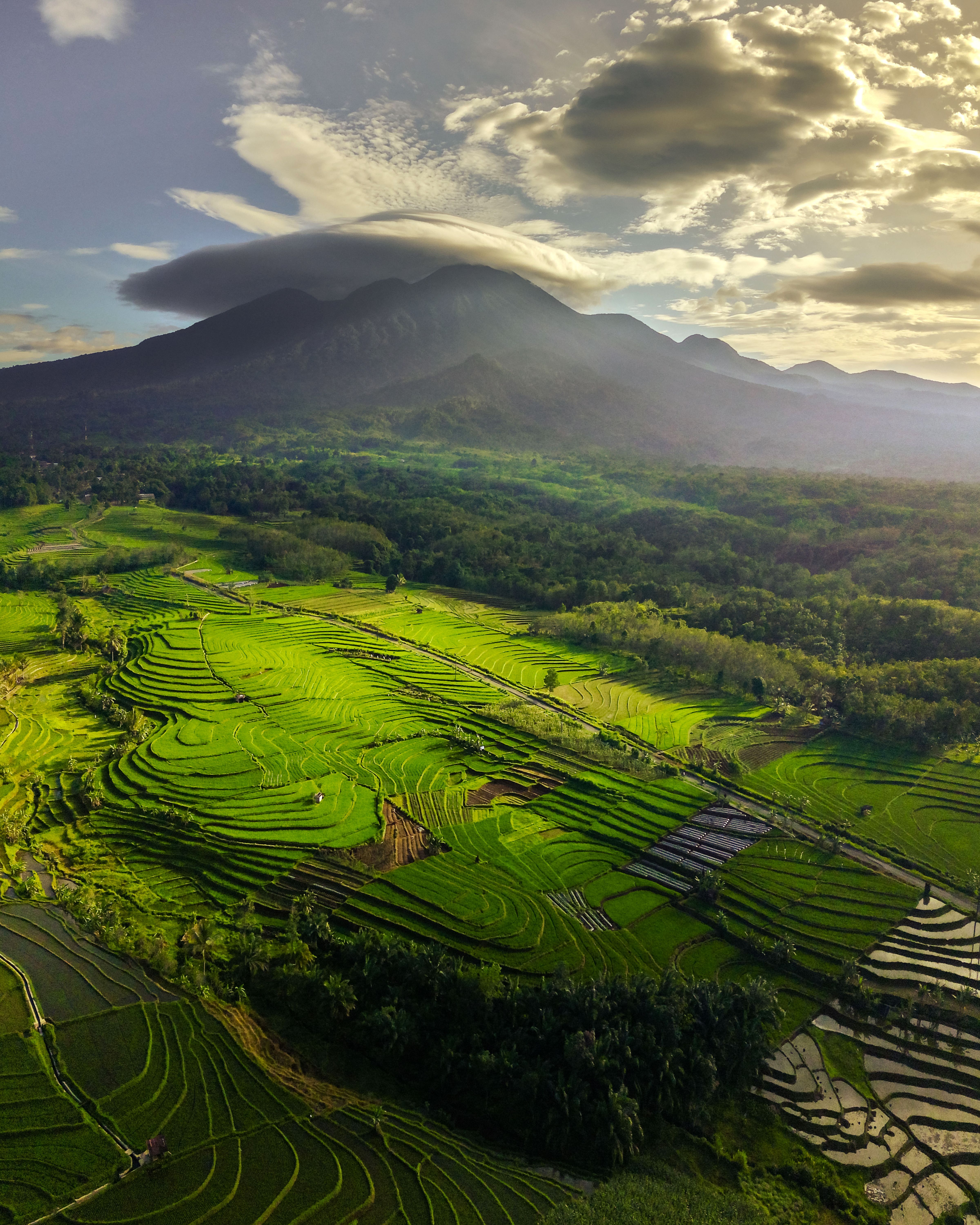
Terraced rice fields beneath a cloud-capped mountain in warm sunlight
A different perspective
From location to actionUnderstand a place.
Make your next move.
Land · People · Operations
Photo: Rahmad Himawan / Pexels

A location is more than a point on a map.

It’s a decision. A responsibility. A place that matters.

Two solutions. One grounded perspective.

Choose well.
Operate better.

From evaluating a parcel to resolving an issue on a neighborhood street, Aletessa connects spatial context with the next practical step.

01 / LAND & SITE DUE DILIGENCE

See the whole picture.
Before you commit.

For expansion teams, developers and their advisors. Aletessa is building a shared workspace to screen locations, compare trade-offs and follow the evidence.

  • 01
    Screen the essentials

    Land-use compatibility, hazard exposure, access and utility readiness.

  • 02
    Compare what matters

    Project requirements, operating costs and the conditions behind a shortlist.

  • 03
    Make uncertainty visible

    Sources, dates and outstanding checks travel with every recommendation.
Explore a site review
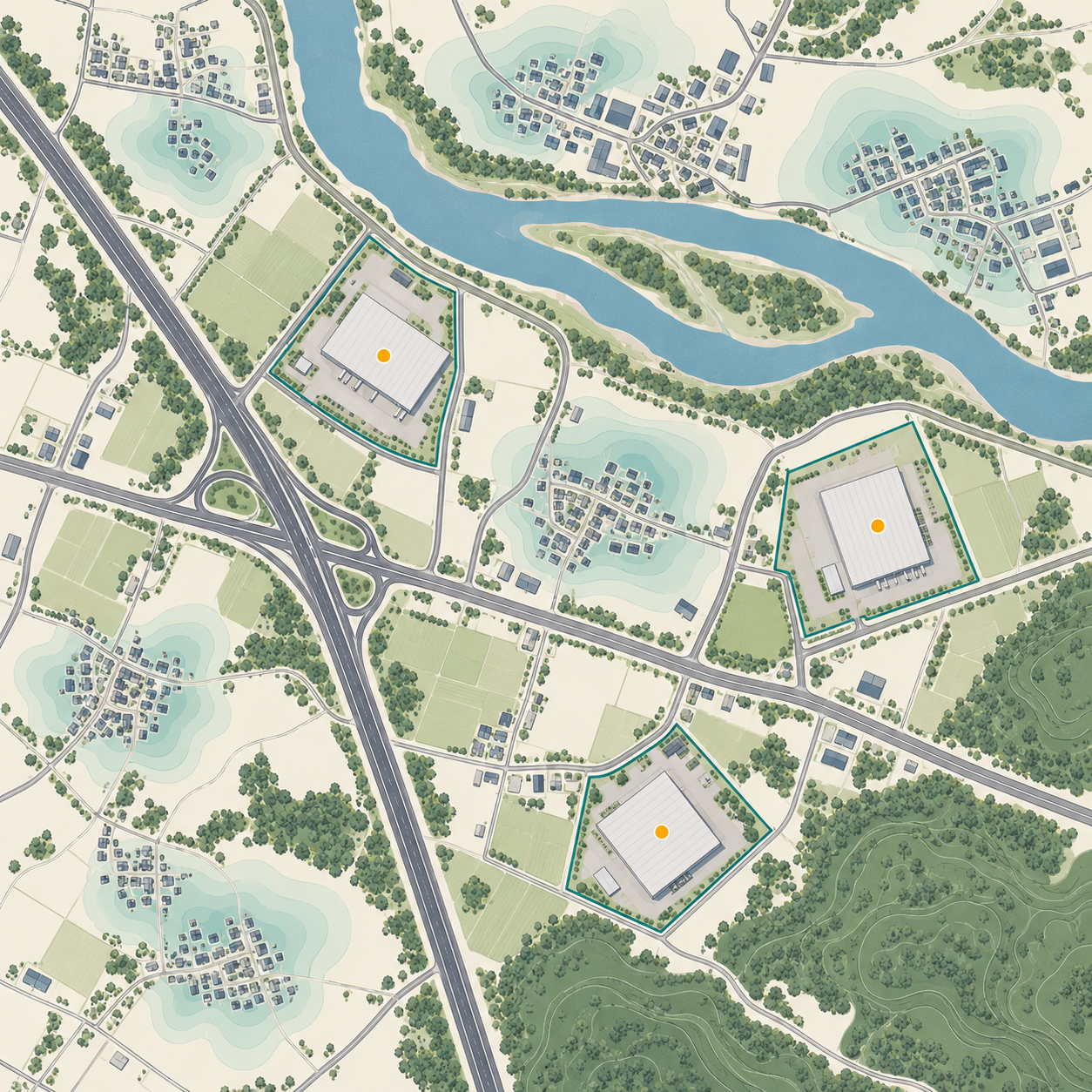
Illustrative map of candidate industrial sites, roads and waterways
The question we help answer

“What should we know
before choosing this site?”
Illustrative geography

02 / GRID MANAGEMENT

Every local issue.
A clear next action.

For city teams and kelurahan operations. We’re building a lightweight workflow for reporting, assigning and verifying work across neighborhood service areas.

  • 01
    Know where attention is needed

    Bring field reports and neighborhood context together on one map.

  • 02
    Connect the right people

    Assign an accountable team and track handovers across departments.

  • 03
    Close the loop

    Record the response, verify the outcome and spot recurring issues.

Follow an issue to resolution
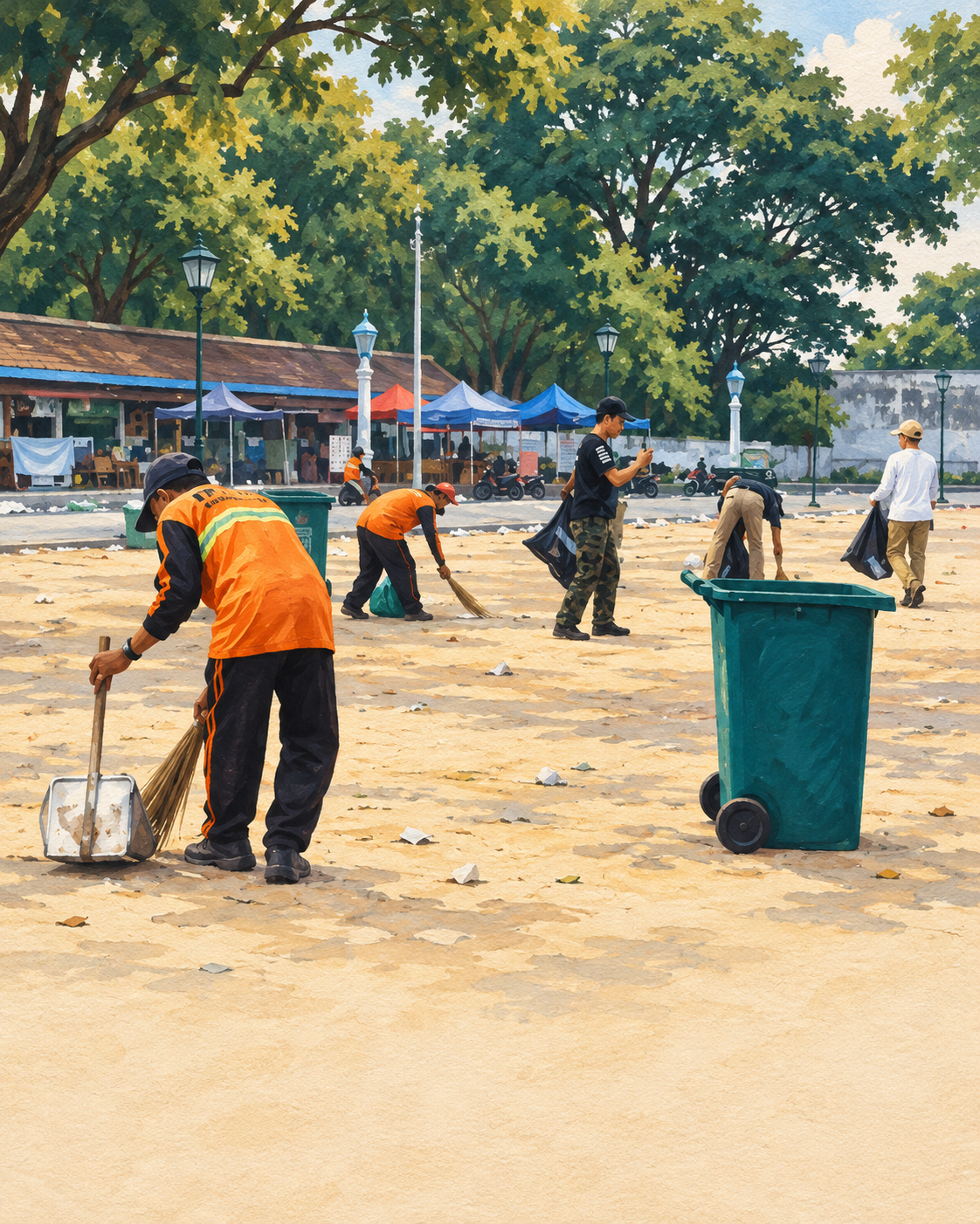
Stylized illustration based on the supplied Surakarta photo, showing a public-space cleanup team sweeping and collecting litter
Built for the everyday

Cleaner streets.
Clearer responsibility.

Stylized from a Surakarta cleanup photo

A closer look

Context becomes
a course of action.

Explore the workflows we’re developing.
These examples use fictional data.

Example / Warehouse search

From shortlist
to site visit.

Interactive concept · Fictional example

Next action

How we think

Useful on the map.
Accountable on the ground.

01 —

Evidence you can trace.

A useful answer should show where it came from, when it was checked and what remains uncertain.

02 —

Local context matters.

A national layer is a starting point. Local documents, field observations and the people doing the work complete the picture.

03 —

Built for a next step.

Request a document. Inspect a site. Assign a repair. Information earns its place when it helps someone act.

Meet Aletessa

We believe better decisions
start with understanding place.

Aletessa is an early-stage geospatial company building for Indonesia. Our focus brings together two connected challenges: understanding land before investing, and coordinating the work that keeps neighborhoods running.

We’re developing both products with a practical ambition: make complex location information useful to the people responsible for what happens next.

Help shape what we build

A few things to know

Grounded answers.

Are the products available today?

Both products are in development. We welcome conversations with businesses, advisors and local government teams interested in helping define a focused pilot. The workflows above illustrate the intended experience.

Does site screening replace professional due diligence?

No. Screening helps organize evidence and prioritize checks. Ownership, permissions, engineering conditions and other critical facts still require verification by the relevant authorities and qualified professionals.

Who is grid management being designed for?

Kelurahan coordinators, field teams and the departments responsible for local services. The initial focus is routine issues such as waste, drainage, streetlights and public-space maintenance, with clear assignment and closure records.

How can we work with Aletessa?

Bring a concrete site decision or an urban service workflow. We can discuss the available data, the people involved and a manageable pilot scope. Select your interest below to prepare an email to our team.

Let’s start somewhere real

Your next site.
Your neighborhood.
Our starting point.

Tell us what you’re working on.
Let’s explore a focused pilot together.

Opens your email app with a draft. Nothing is submitted on this website.